Point Cloud to BIM Services
Transform 3D Laser Scan Data into Accurate As-Built BIM Models
Professional Point Cloud to BIM Services
Point Cloud to BIM services convert 3D laser scan data into intelligent, parametric building information models that accurately represent existing conditions. Our scan-to-BIM specialists process point cloud data from terrestrial laser scanners, mobile mapping systems, and drone-based LiDAR to create detailed Revit models for renovation, retrofit, historic preservation, and facility management projects. We handle point clouds of any size and complexity, delivering accurate as-built models that serve as reliable foundations for design, construction planning, and clash detection.
What is Point Cloud to BIM?
Point Cloud to BIM is the process of converting millions of surveyed 3D points captured by laser scanners into intelligent BIM models. Laser scanning captures existing building geometry with millimeter-level accuracy, creating dense point clouds that represent walls, floors, ceilings, structural elements, MEP systems, and architectural features. Our modelers use specialized software including Autodesk ReCap, CloudWorx, and Revit to register, clean, and model point cloud data into coordinated BIM models that match real-world conditions.
Our Scan-to-BIM Capabilities
- Point cloud registration, alignment, and quality verification
- As-built architectural modeling from scan data
- Structural element modeling including beams, columns, and connections
- MEP systems modeling from visible components in scans
- Historic building documentation and preservation modeling
- Clash detection between existing conditions and new design
- Deviation analysis comparing as-built to design intent
- Multi-format deliverables including Revit, IFC, and CAD drawings
Applications & Benefits
Point Cloud to BIM is essential for renovation projects where accurate existing conditions are critical. It eliminates measurement errors, reduces site visits, and provides comprehensive documentation of complex spaces. Scan-to-BIM models support clash detection between existing structures and new systems, enabling proactive conflict resolution before construction. Studies show scan-to-BIM reduces field verification time by 60-80%, improves as-built accuracy by 95-99%, and decreases design conflicts by 50-70% compared to traditional measured surveys.
Technology & Accuracy
We work with point cloud data from all major scanning platforms including Leica, Faro, Trimble, and Matterport. Our modeling accuracy ranges from �3mm to �25mm depending on scan quality and project requirements. We provide LOD 300-400 models suitable for design coordination, construction documentation, and facility management. All deliverables include accuracy reports and deviation analysis documenting model fidelity to scan data.
Request Scan-to-BIM Quote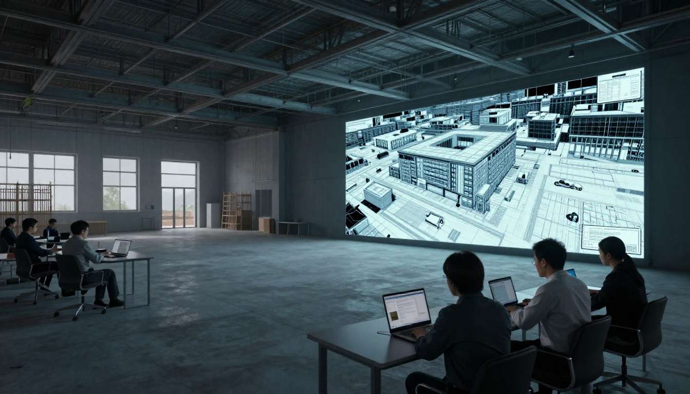
Our Scan-to-BIM Process
Systematic workflow from point cloud data to accurate BIM models
Data Receipt & Review
Receive point cloud files, verify data quality, completeness, and registration accuracy.
Point Cloud Processing
Clean, register, and optimize point cloud data for efficient modeling in Revit and ReCap.
BIM Modeling
Create intelligent Revit models matching point cloud geometry with specified LOD and accuracy.
Quality Control & Delivery
Verify model accuracy against scans, perform QA checks, and deliver final BIM models with documentation.
Convert Your Laser Scans to BIM Models
Transform your 3D laser scan data into accurate, intelligent BIM models. Contact us today to discuss your point cloud to BIM project and receive a detailed quote.
Get Started with Scan-to-BIM